Maybe AI isn’t some passing fad—certainly every tech company is racing to add as many AI features to their products as possible, Google included. Bard is the company’s answer to ChatGPT, and it even integrates with Google products like Docs, YouTube, and Gmail.
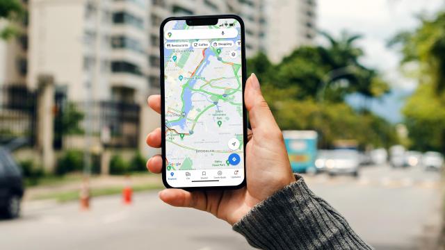
It seems Maps is the latest Google product to catch the AI bug: The company has announced six new AI features coming to Google Maps, including the ability to search for visual landmarks, AR searching, and the launch of Immersive View for Routes.
Visual Search
Visual Search is a new Google Maps tool that leverages the photos shared by Google Maps users to return results for more general searches. For example, you can search for “street art” in Google Maps, and receive corresponding images from locations near you. If you want to find a coffee shop that does “animal latte art,” search that, and Google Maps will look for images that match that description.
Google says this feature is rolling out on both iOS and Android this week.
Explore by Topic
When you search for something Google Maps, your results will soon look different than usual. That’s because Google is using AI to group results together into different themes. The goal here is to group different types of results together in thematic lists, so when you see a list that matches your interests, you should be able to focus on more relevant results. You can save these results to lists for later viewing, too.
Immersive View for Routes
This one might just be my favorite: Google is using AI to merge billions of Street View images together to create an interactive view of any given place. You can experience a destination, including things like traffic simulations and weather effects, when requesting cycling, walking, and driving directions, all using previously-available Street View data. Google announced this feature during I/O 2023, and it’s finally rolling out this week.
Driving and navigation
You’ll soon notice more realistic buildings and highway lanes during navigation, which I’m excited about. The more the maps reflect the real world, the easier it is to follow the directions. You’ll also see when there are HOV lanes on the route, as well as speed limits in 20 additional countries.
EV charger information
If you have an electric car, a new Google Maps update will give you more information that should help along your route. Google Maps will tell you whether a charger is compatible with your car, when that station was last used, and how fast or slow that charger is. According to Google, 25% of EV chargers are down at any given point in the US—yikes—so these changes should help. Google didn’t explain how exactly AI plays into these features, but perhaps it intelligently pulls together data from other drives as well as station sites and reviews.
Google Lens expansion
Google is rebranding “Search with Live View” to “Google Lens in Maps,” and is rolling out the feature in 53 new cities. If you tap the Lens icon, you can lift your phone up point it towards world around you. Google Maps will then display info about objects in view, such as ATMs, public transit, restaurants, and shops, so you can learn more without needing to search for things individually.
New cities supported in this feature include Austin, Las Vegas, São Paulo, Taipei and Rome.
Leave a Reply
You must be logged in to post a comment.