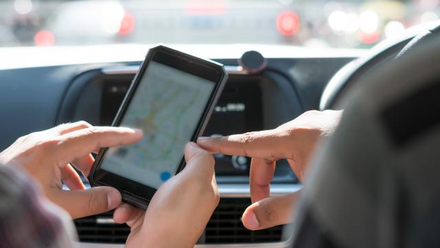
It’s easy to use Google Maps to see how far your office is from your favourite restaurant or how long it’ll take to drive from Sydney to Melbourne (in non-locked-down times).
Estimating the distance between two locations without relying on winding roads messing up your estimate, however, is a bit more complicated. Sure, you could try and measure it with the distance scale at the bottom corner of your screen, but a quirk of Maps (which we originally learned of on reddit) makes estimating distances from point to point (or “as the crow flies”) pretty easy, whether you’re using your desktop or an Android or iOS device.
With distance restrictions being implemented throughout the COVID-19 crisis in Australia, this tool is likely more useful than ever now.
The latest update out of NSW is that Greater Sydney’s restrictions will be tightened, with outdoor exercise limited to two people; and people no longer being allowed to exercise more than 10km from home. Funerals will also be limited to 10 attendees. Details here.
See below for a guide on how to measure 10km from your home.
How to measure distances on Google Maps
When using a desktop to measure distances:
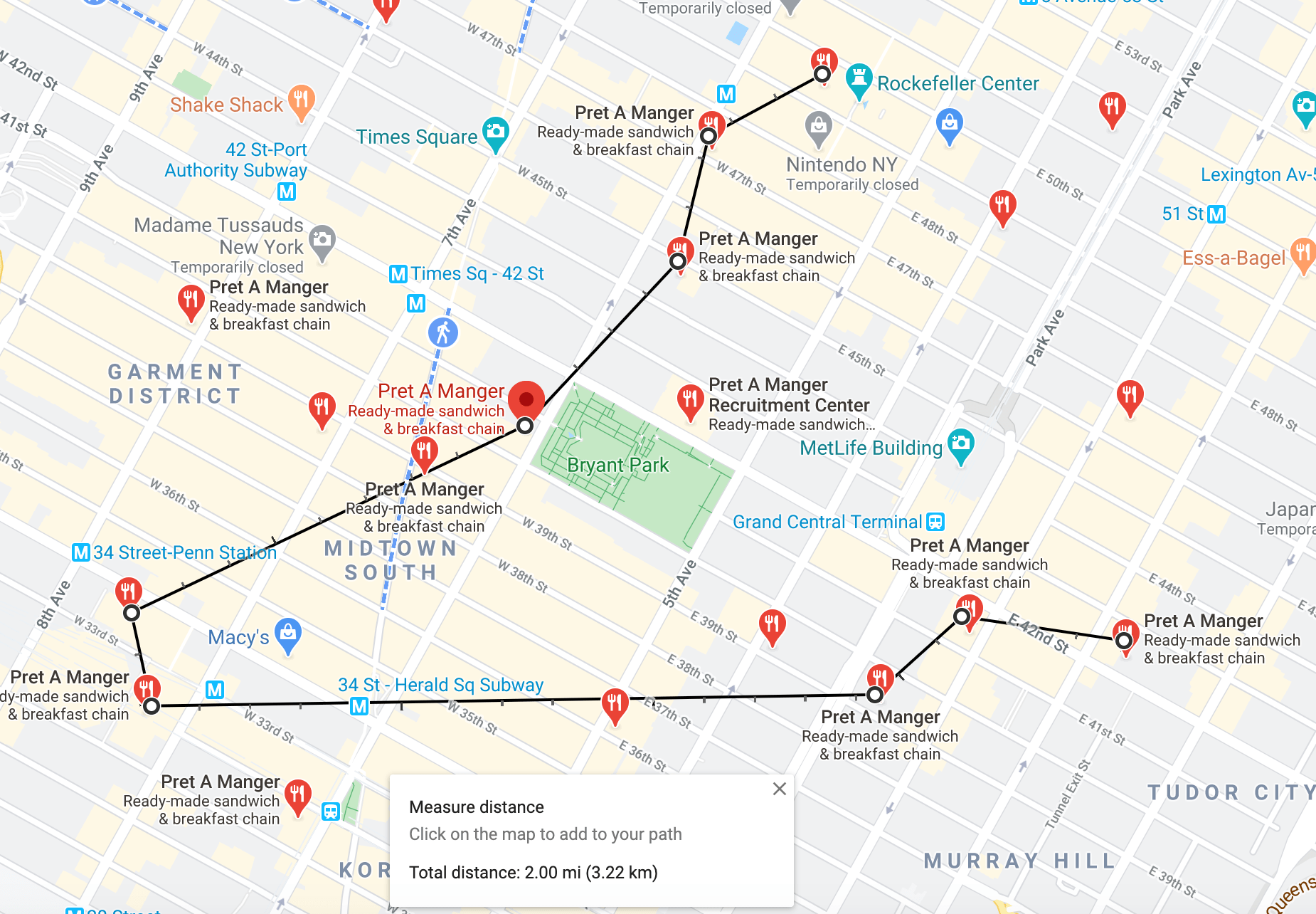
- On your computer, open Google Maps here.
- Right-click on your starting point.
- Choose Measure distance.
- Click anywhere on the map to create a path to measure. To add another point, click anywhere on the map.
- Optional: Drag a point or path to move it, or click a point to remove it.
- At the bottom, you’ll see the total distance in miles (mi) and kilometers (km).
- When done: On the card at the bottom, click the x .
When using Android:
- Open the Google Maps app.
- Touch and hold anywhere on the map. You’ll see a red pin appear.
- At the bottom, tap the name of the place.
- On the place’s page, scroll down and choose Measure distance.
- Move the map so that the black circle, or crosshairs, is on the next point you want to add.
- At the bottom right, tap Add.
- Add points until you’re done.
- At the bottom, you’ll see the total distance in miles (mi) or kilometers (km).
When using iOS:
- Open the Google Maps app.
- Touch and hold anywhere on the map. A red “dropped pin” will appear.
- At the bottom, tap the name of the place.
- On the place’s page, scroll down and choose Measure distance.
- Move the map so that the black circle, or crosshairs, is on the next point you want to add.
- At the bottom right, tap the plus sign to add a point.
- Add points until you’re done.
- At the bottom, you’ll see the total distance in miles (mi).
This post was originally published on September 6, 2017 by Patrick Lucas Austin. It has been updated since its original publish date to reflect current news.
Leave a Reply
You must be logged in to post a comment.